awash2002 wrote:I want to do the same trip in the 182T
Like an astronaut I once met at an airshow told me: "Do it!"

Lewis - A2A wrote:More UK needed Scav hehehe

I'll get around to it.
I don't know if FSX is running on outdated/inaccurate navaids/route information, but I've found a good portion of the routes over England seem to like to put people up into the 15,000-21,000' range. I'm not sure if that's because of noise-adverse people or wanting to protect Roman fortifications or NIMBY, but altitude-related anoxia has been the biggest factor in me avoiding lower England so far.
Unless they don't have any hangups about flying direct and sensibly?
Anyway. I'm re-flying this vacation YET AGAIN . . . and this time I've found an aircraft/livery configuration I'm happy with. It's been quite a challenge between my fickle nature (Ooh, shiny!) and really feeling out what the 182 can do, but I'm happy with what I've got now. I'm also taking liberties with Heidi and the other (unnamed?) flying crew, but I'm being sensible about that as well.
In this round I'm preserving the second route posting as much as possible and am actually taking screenshots instead of drooling over the keyboard. So without further guilding the lily and
no more adieu, I present:
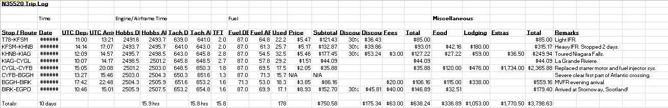
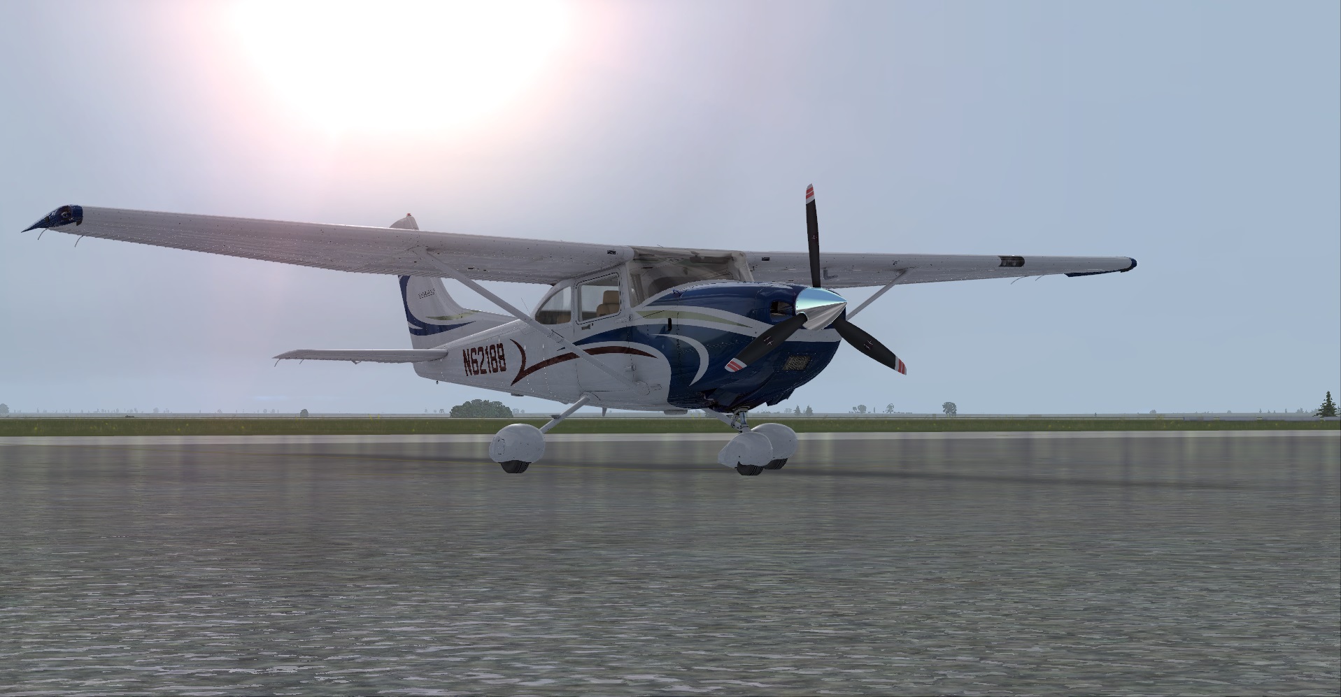
N6218B
2001 Cessna 182T.
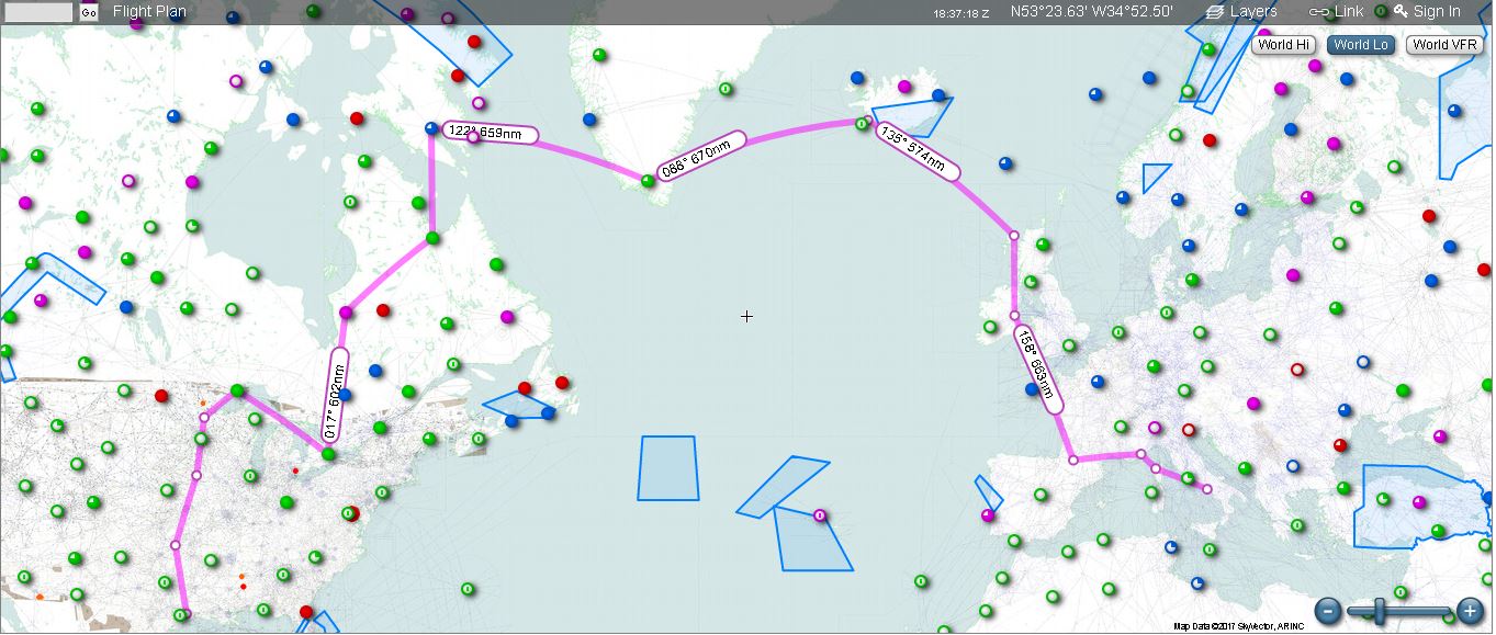
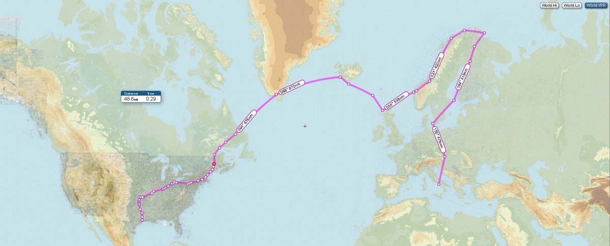
Southeast Texas to Naples, Italy
Day 1
Leg 1: Liberty, TX (T78) to Independence, KS
09:20Z.
The trip started well before dawn in an effort to cover as much ground as possible while being able to spend as much time as possible at the stops of interest. The itinerary for today: Cross Texas and Oklahoma and land at the Cessna Factory in Independence, KS for an early lunch and a benediction of the hallowed grounds of the company that built this fine aircraft.
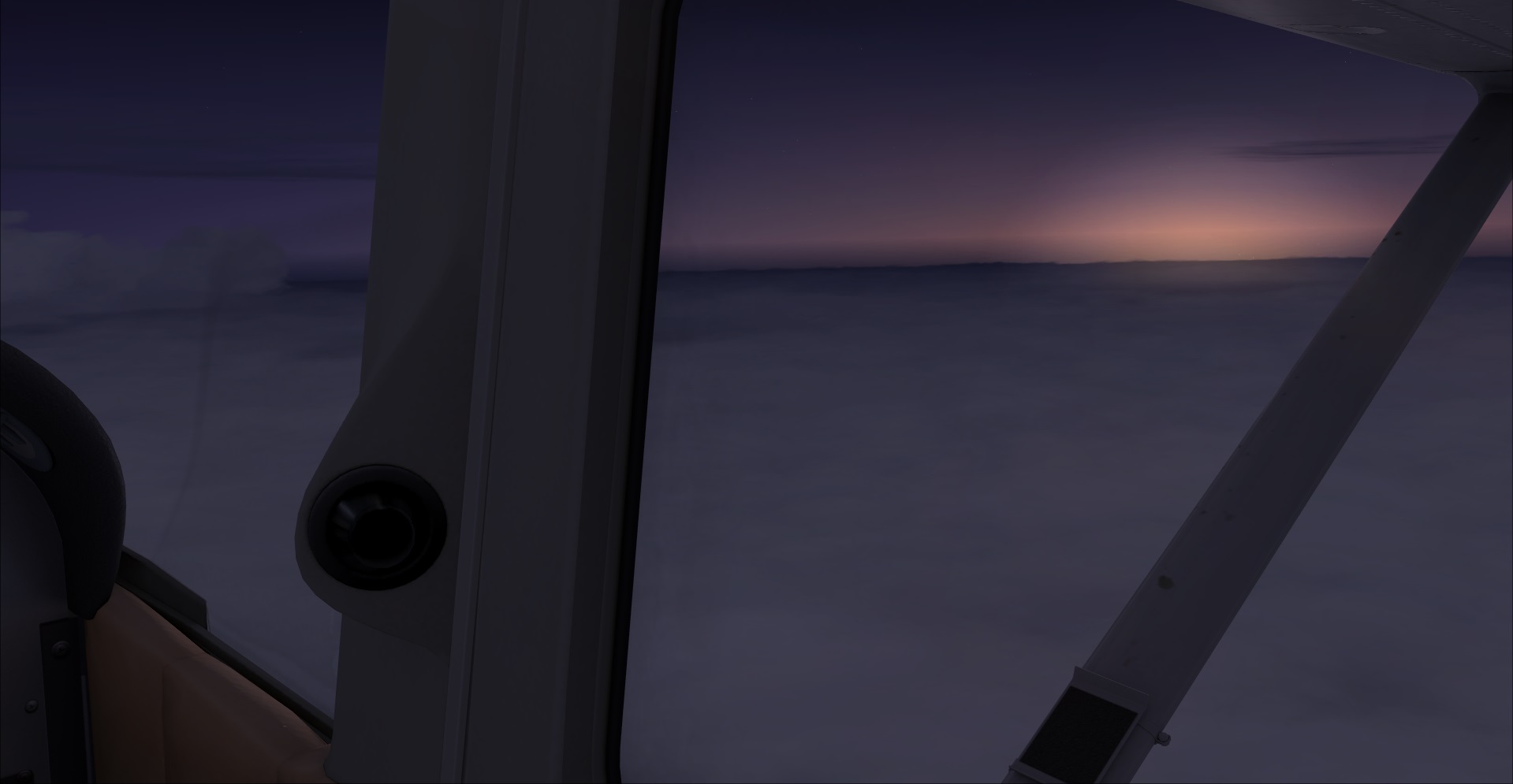
This shot was taken an hour after departure, somewhere over northeast Texas near possibly Texarkana.
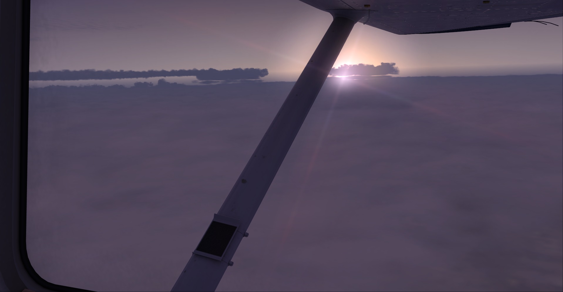
Most of this flight was spent above a morning cloud deck of threatening rain but nothing overly aggressive above. In fact, forecast weather indicated the possibility of morning thunderstorms over central Kansas; hence the drive to cover the distance quickly before moving east. Not a spectacular day for flying, but not a deal-breaker at any rate.
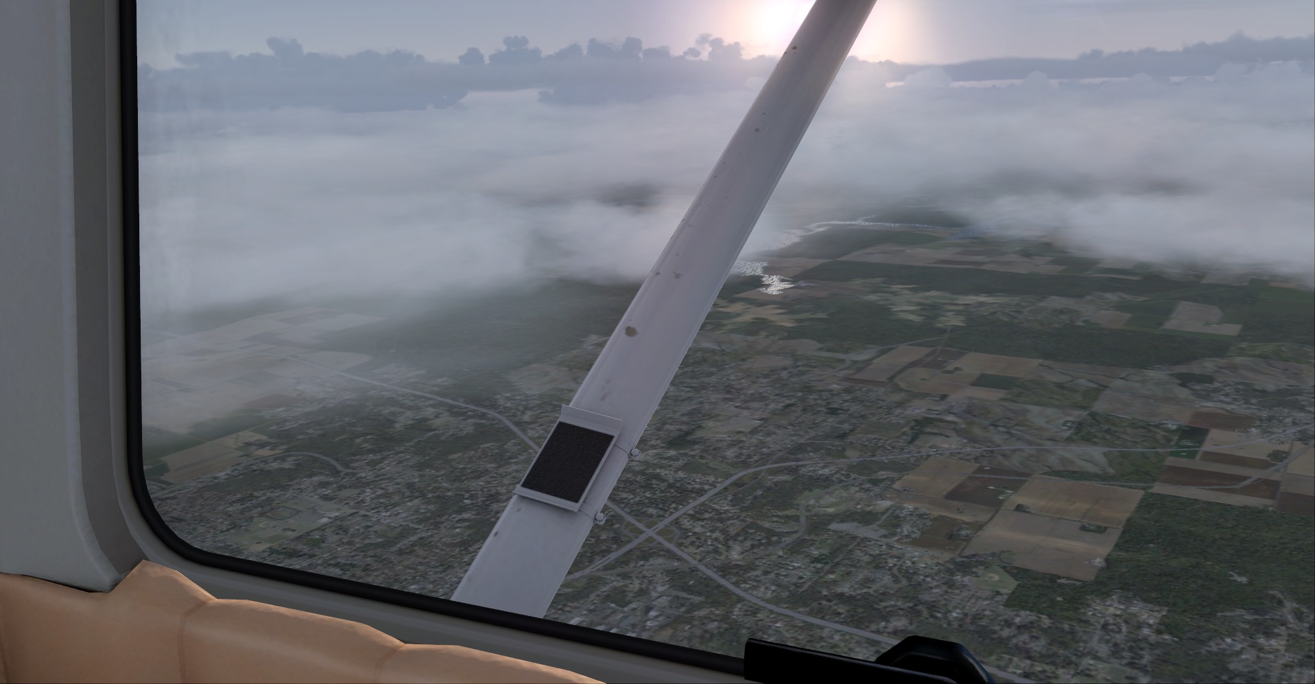
. . . and here we are coming over McAlester, Oklahoma. The weather is deteriorating significantly and noticibly the further north we travel. It turns out that the weather report was accurate -- for four o'clock in the morning -- however, with temperatures remaining in the 16-18C range even at 8,000 feet above the ground combined with all of the humidity in the air . . .
. . . it generated the right call to abort the flight plan further north. Tulsa, OK was right out -- all indications led to a strong cell dumping rain and possibly hail right over the city, and the destination was further north than
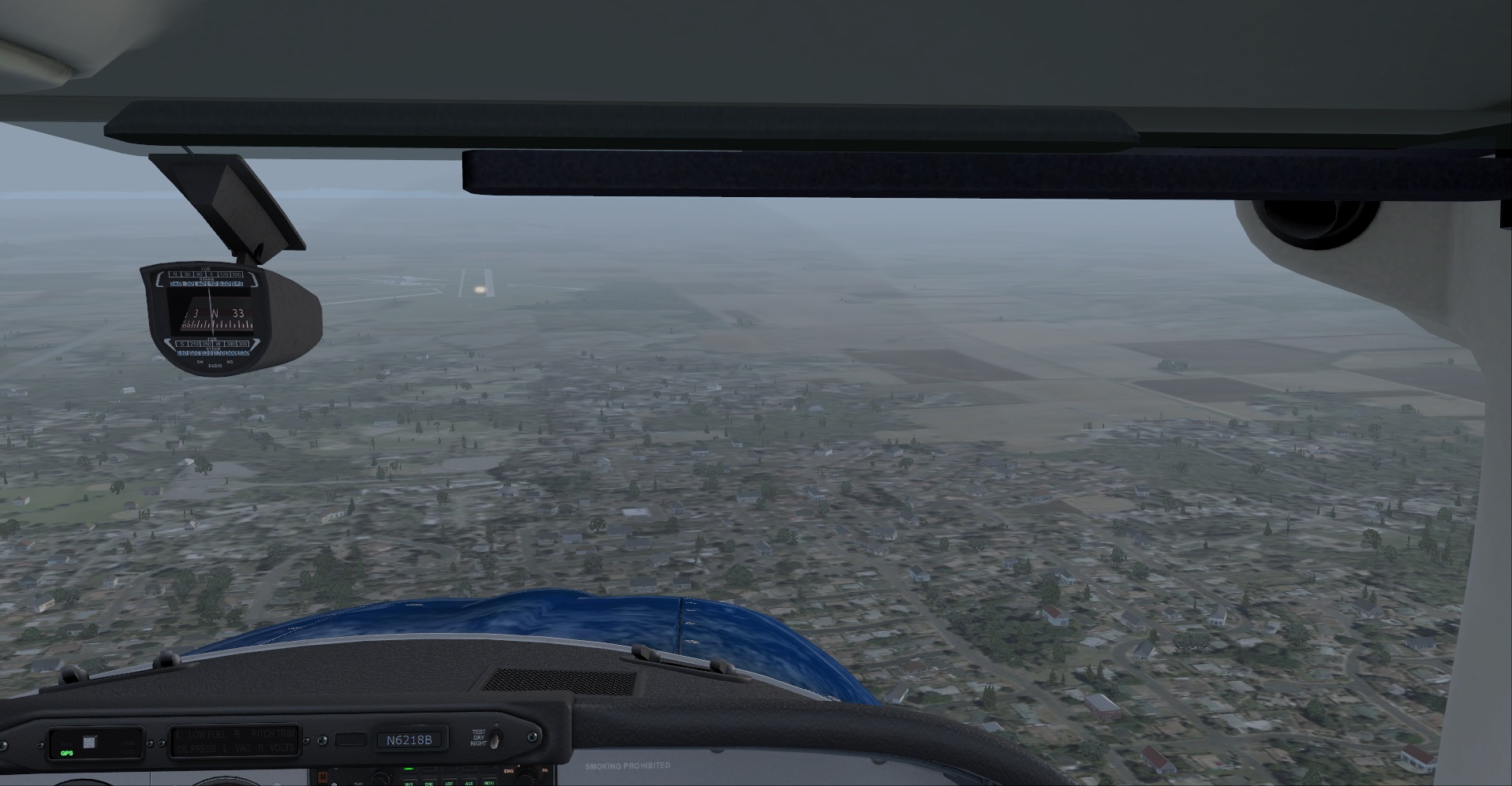
that. Closest field was KOKM, Okmulgee, OK so that's where we concentrated on.
The area of highest activity remained to the north some 20-30 miles away, but it still made for a rough approach and no time to take pictures.
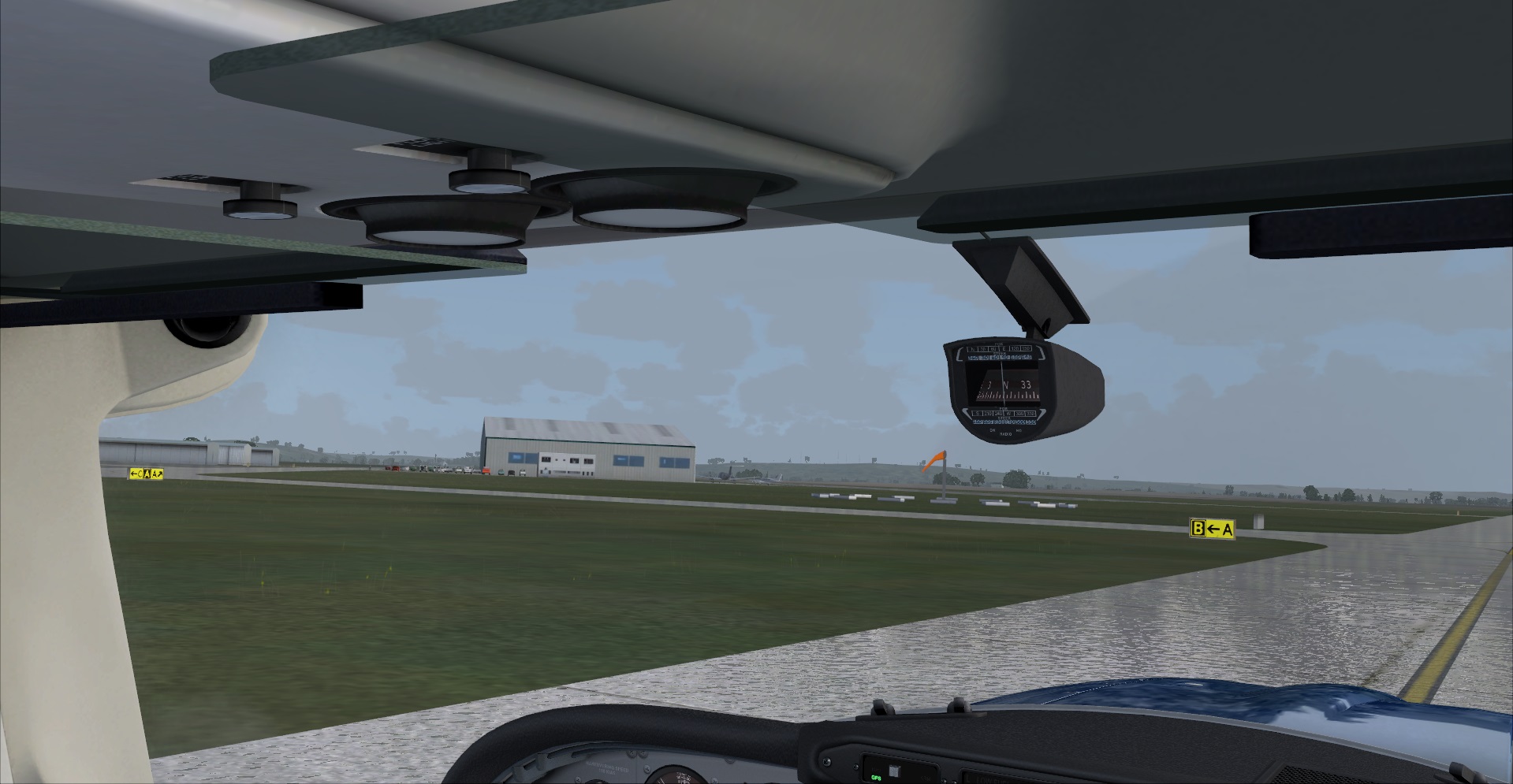
Sanity restored. We made it on the ground in one piece.
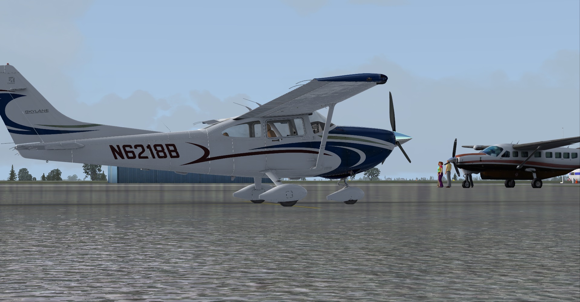
And here we are parked for right now to wait out the storm. The local time is not yet 8 AM (the FBO officially opens then) so there is not much to do at the moment.
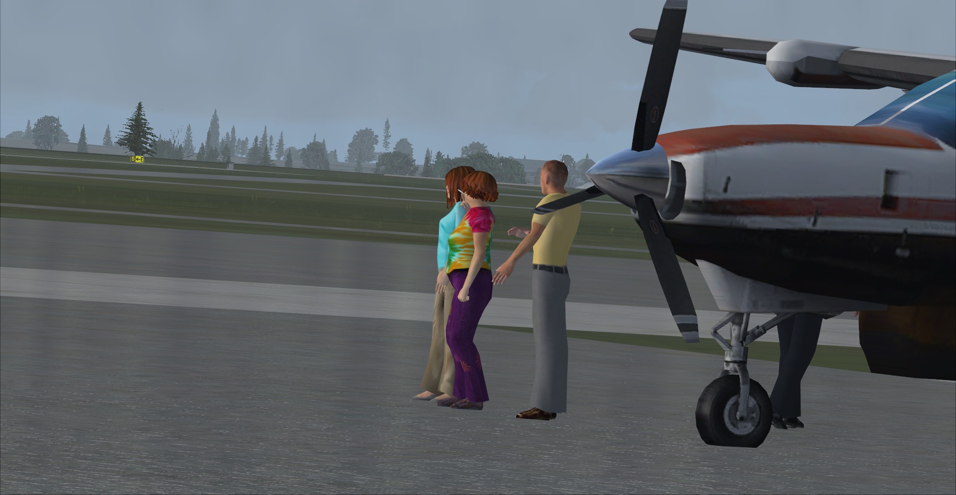
Hey, wait a minute! I thought I saw something goofy going on there. Turns out they're all looking northbound -- at the thunderstorm that kept us from going further north at the moment and quite obviously bloviating a storm. I can only imagine what kind of conversation they were having with that poor guy in the biz-caz.

Leg 2 will include Independence, KS.